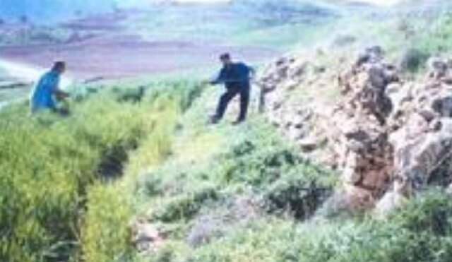
Baba Shams hill links history, nature, and agriculture in Ilam

TEHRAN – Scattered pottery fragments, historic aqueducts, and the proximity of the Karzan River point to ancient settlements at Baba Shams hill, located on the western edge of a village of the same name, according to Habibollah Mahmoudian, a specialist in prehistoric archaeology.
He told ISNA that the archaeological site, covering an area of about 93,000 square meters, lies east of the Ilam–Lumar Road amid the agricultural lands of Baba Shams village.
In the western part of this hill, there are ruins of a building known as Vali Bath, and in its southern part, there is the site of Chega Khomi, he said.
He pointed out that the dimensions of the building in this area were measured as 2.3 x 9 x 33 meters, and on the eastern front, due to the creation of an agricultural water canal, the middle layers of the hill are visible. The north-south length of the hill is about 33 meters and its west-east width is nine meters.
The soil of this hill is clay, and unfortunately, unauthorized excavations have destroyed parts of it, he said.
“The archaeologist explained that the water sources of this site include springs and aqueducts, and its access is possible via the asphalt road from Ilam to Lumar. This site is located on the connecting route to nearby places, and the closest monument to it is the real estate office building at a distance of 303 meters.”
He continued that the cultural relics on the surface of the hill include pieces of scattered potteries pertaining to the Islamic era.
Mahmoudian also explained about the Baba Shams ancient site: “This site is located on the western outskirts of Baba Shams village with an area of ??about 93,333 square meters and is surrounded by agricultural lands. The presence of a qanat, the Karzan River, fertile lands, proximity to mountains, and forest cover in the western region have been factors in the development of this area.”
He said: The west-east length of the site is about 323 meters and its north-south width is 303 meters. The water sources of this site include the Baba Shams spring and qanat, and the closest monument to it is the four-arched building of Varmian, located 233 meters west of it.
The archaeology professor continued that the surface of the hill has scattered potteries of various types, including simple and rough pottery from the historical period. “The color of the pottery is mainly red and pea-colored, and added patterns can be seen on them. A piece of glass and a sample of glazed pottery from the Islamic period were also found on the surface of the site.”
He said that the ancient site of Baba Shams, which is located on the heights of the western outskirts of the village, is very large. “The pottery in this site is very abundant and scattered over a considerable distance. No architectural remains are visible on the site, but farmers in the area have collected the stones on the site and concentrated them in a few points to make it suitable for agricultural activities.”
Regarding the topography of the area, he said: “The small Baba Shams plain is located on the northern edge of the Karzan River, and this river has created the fertile Baba Shams Valley. The presence of lateral heights and forest cover in the region has affected the climate of the Baba Shams intermontane plain and made it temperate. It seems that this area had permanent settlements in the past, although there was also the possibility of temporary settlements.”
KD
Leave a Comment